GIS and Database services for environment and fishery management
Spatial Databases improve knowledge to preserve natural resources and meet environmental protection
Our services focus on our clients' most critical issues, their goals become our goals
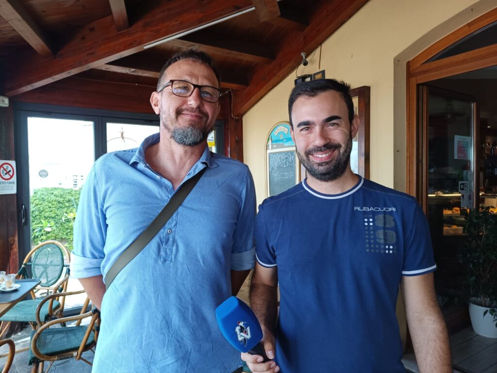
Stamattina (7 agosto 2023) intervista, a Fano, del giornalista Daniele Andreani per parlare della nuova applicazione per il monitoraggio della pesca nell’Adriatico sviluppata da Kosmosambiente.
Non perdetevi il servizio in onda su Tv Centro Marche, canale 10, questa sera alle ore 19.30, 20.30, 23.00. Buona visione!

Fisheries data

Fishing Vessels AIS Data
This data concerning vessel traffic is available in standardized format to all countries in the world and represent a big data source with great potential. This unlocks large amounts of data, which is a potentially huge source of information once it has been made suitable for statistical use.

Scientific Trawl Surveys (TruSt)
The TruSt software has been designed to store and analize data from Scientifica Trawl Surveys. The software Graphic User Interface was conceived and designed to be an ‘intuitive’ but also powerful tool to store and perform basic processing of the data collected...

Benthic Fauna Surveys (BEASTs)
The BEASTs software is a computerized system for organizing, storing and undertaking some preliminary analyses of the dataset available after the Benthic Fauna surveys...
